
Bridge abutment protection and gravel extraction, Llaquepe river
HEC-RAS 1D and 2D modelling to protect bridge abutments and define a gravel extraction area.
- Client
- Salmones Austral
- Region
- Los Lagos
- Year
- 2025–2026
- Sector
- Aquaculture and hatcheries · Public sector and rural water
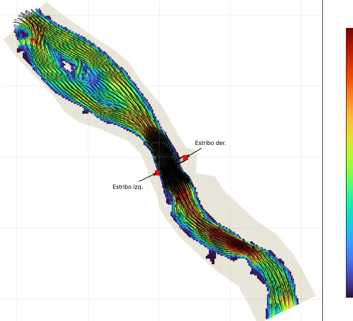
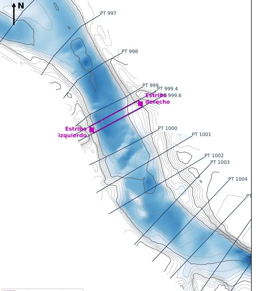
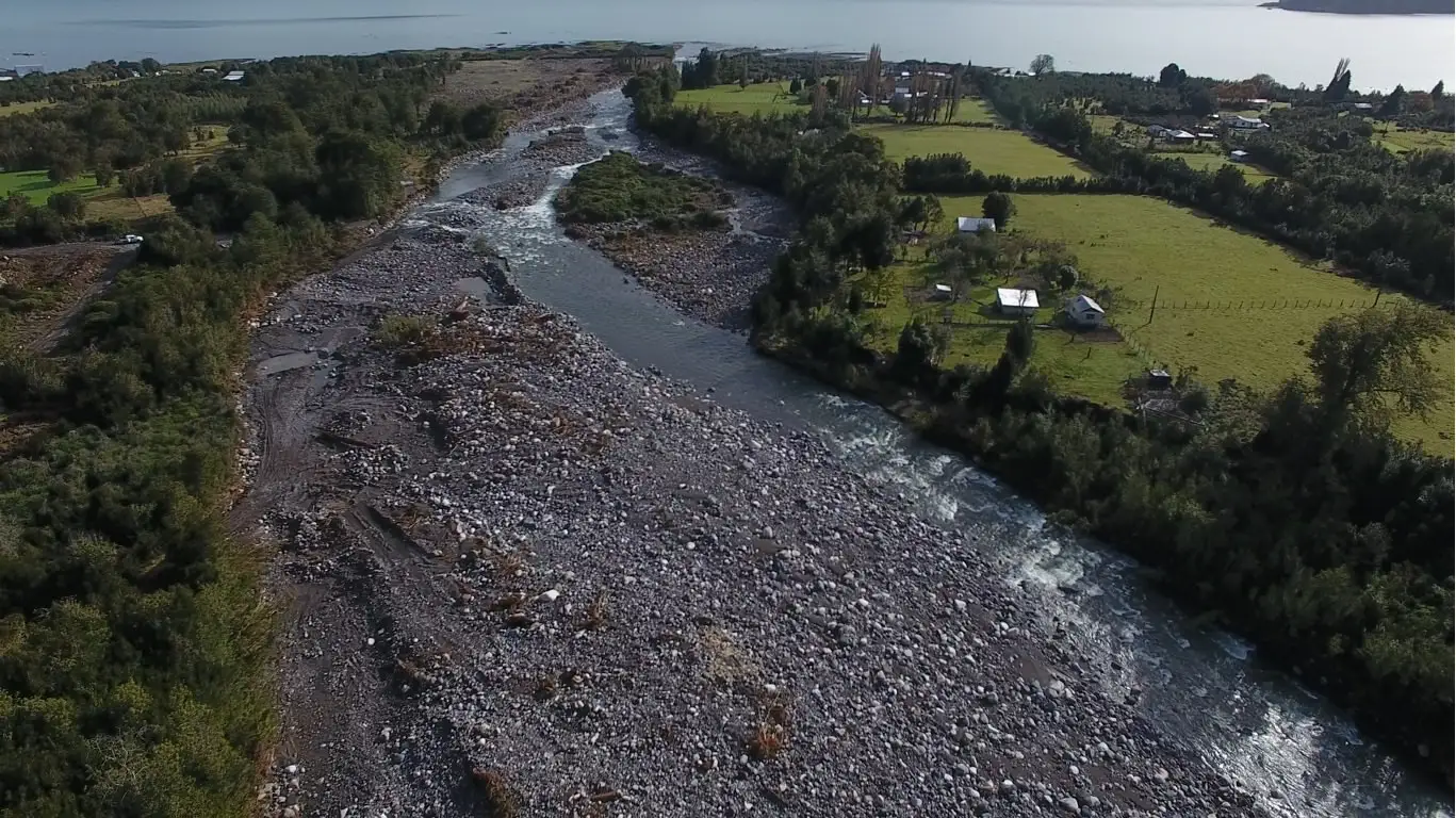
Protect a bridge’s abutments and define a gravel extraction that would not worsen scour or flood levels.
We modelled the river in 1D and 2D for the 100- and 150-year floods and compared both models. On that basis we designed rock-armour protection for the abutments and the extraction polygon. The file was submitted to the DOH with 27 drawing sheets.
HEC-RAS, GeoHEC-RAS (2D), drone survey.
Related projects
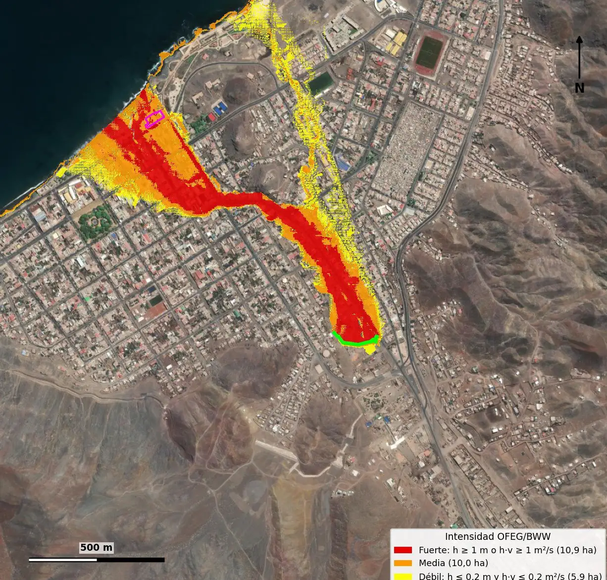
Debris-flow risk study for an urban ravine, Taltal
2D debris-flow modelling to assess the exposure of an urban property.
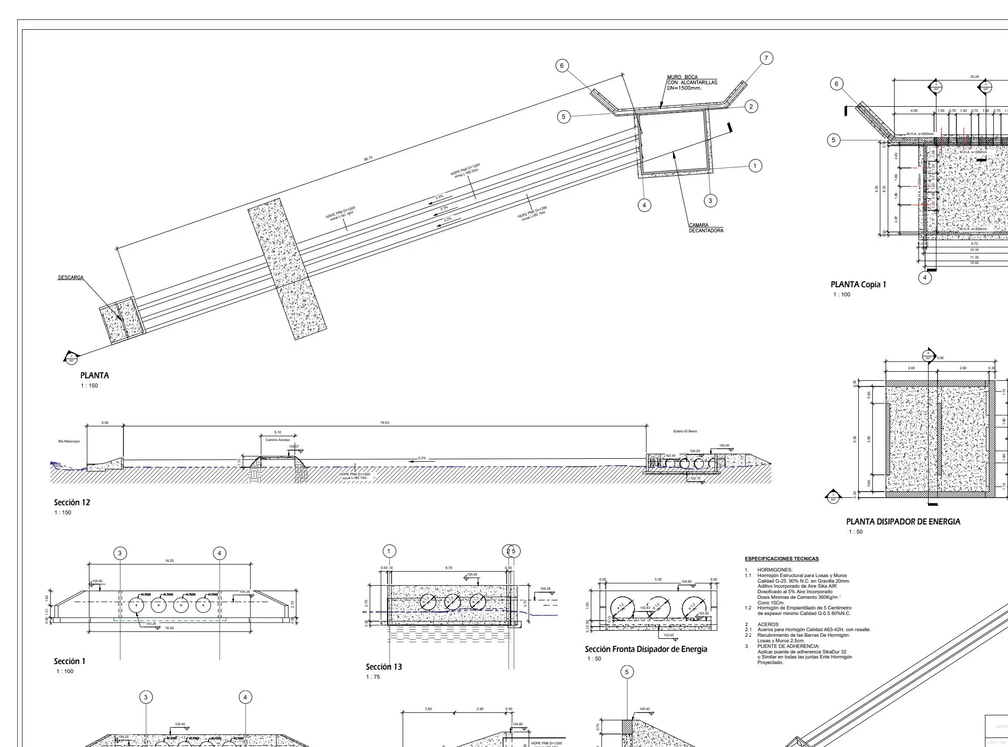
Sectoral environmental permits for hatchery assessments
Hydraulic component of PAS 155, 156 and 157 permits for hatchery environmental assessments, alongside environmental consultancies.
turbiascaliboro: turbidity forecasting model and alert app
A model that anticipates turbidity events at the water intake and publishes them in an alert app.
Working on something similar?
Tell us the location, type of works and timeline. We will reply with a scope and a proposal.